|
I kept hearing from other pilots of Los Banos as one of their favorite fly-in destination because of good restaurants nearby particularly this place called The Ryan's Place. So, from Reid-Hillview, I took the most direct route to Los Banos. That took me over some rough, mountainous terrain south of San Jose, passing Mt. Hamilton and Lick Observatory. At 5,500', it was a bit of a bumpy over the mountains but smoothed out as I reached the flat central valley. I used flight following through out the flight. At Los Banos, I was not able to find this Ryan's Place so I end up having lunch at McDonald's across the airport. As I was preparing for my return flight, I was not able to start the Archer. Good thing there's a shop in the field --- Mid Valley Aviation. The battery was drained for some reason, and the mechanic and his assistant at Mid Valley recharged my batteries, and off I go. The return flight was smooth at 6,500'. |
|
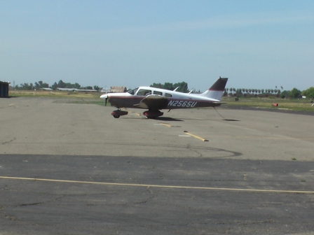 |
Except for some occasional training T&G's in the pattern and a twin dropping off a passenger, the whole airport was quite. I also remember that it was warm. |
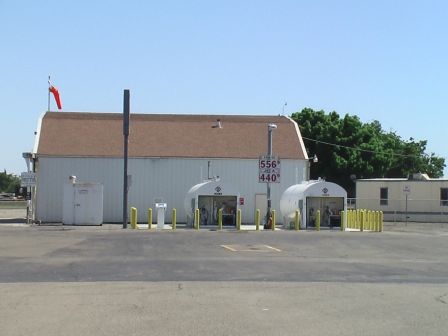 |
Self serve fuel pump station. Surprisingly, fuel prices was somewhat high considering it's a rural, no-FBO, non-towered airport. |
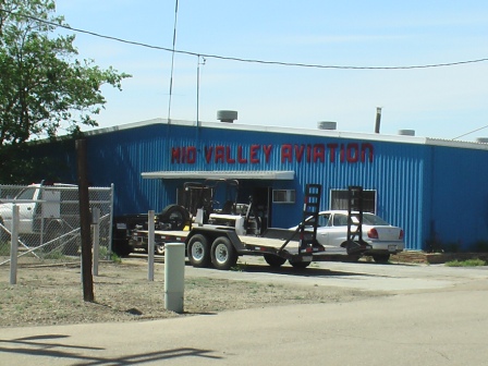 |
Mid Valley Aviation -- recharged the Archer's battery for my flight back. |
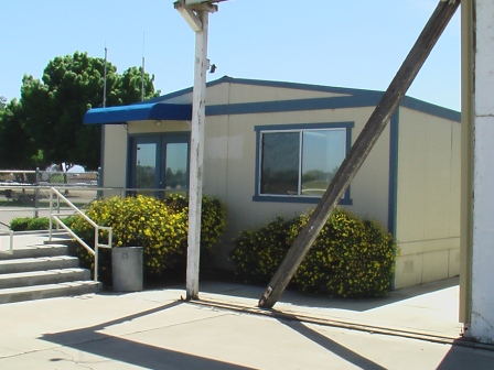 |
The pilot lounge. |
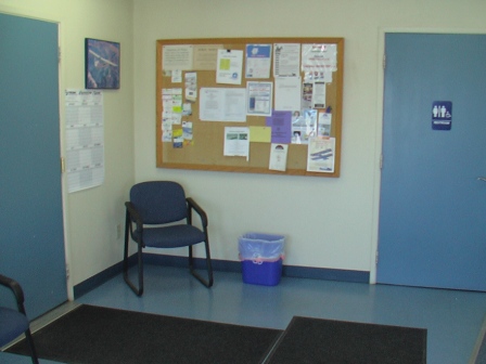 |
Inside the pilot lounge. Clean restrooms. No one's around. |
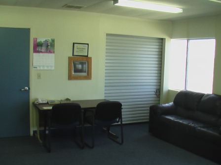 |
More on inside the pilot lounge. Cozy. |
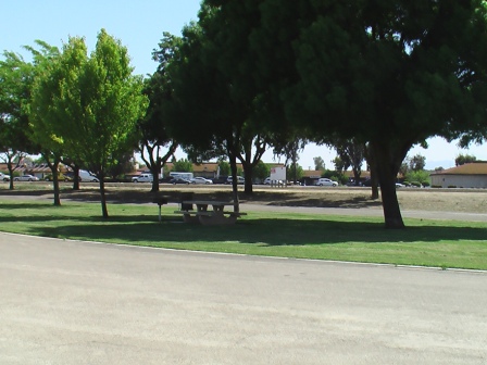 |
Picnic area with BBQ grill across the airport parking lot. |
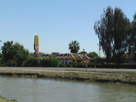 |
Los Banos canal right next to the airport. And that's the McDonalds where I ate lunch. |
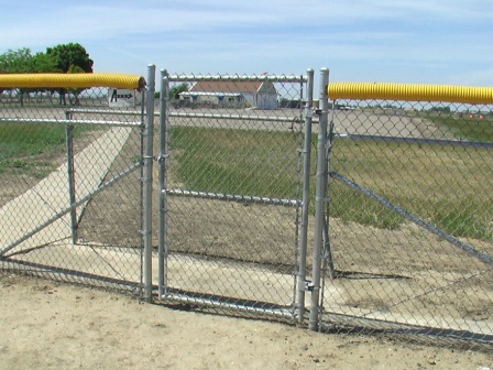 |
Pathway to town near threshold of RWY. 32. |
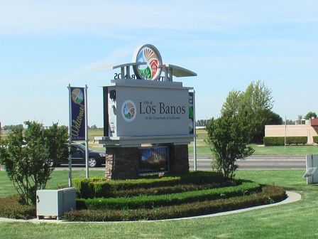 |
Sign across the street from the airport --- in case you have doubts where you are. |
 |
Must be a happening place. I wish I can stay longer to attend. |
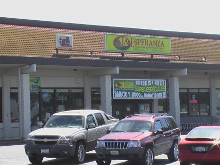 |
A strip mall across the airport. |
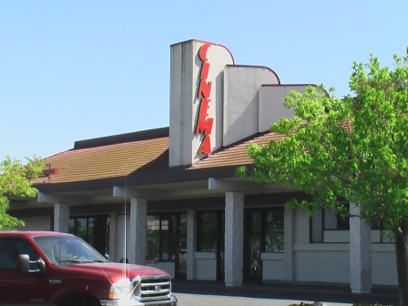 |
Looks like this movie house across the airport is closed. Otherwise, it would have been a good fly-in destination to watch movies. |
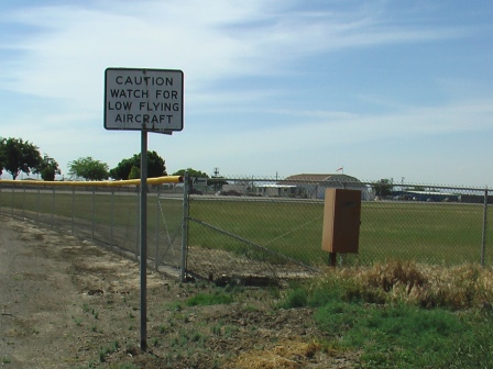 |
The road back to the airport goes under the short final path for Rwy. 32. |
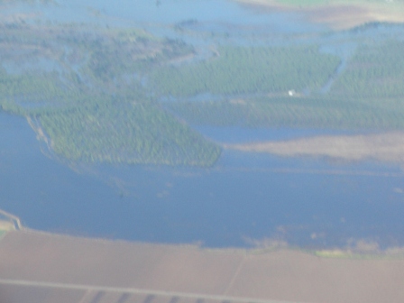 |
At 6,500' return flight, this looks like somekind of "waterworld" civilization somewhere in Patterson. |
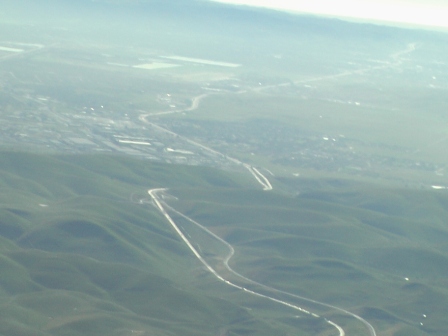 |
Passing Altamont with a view of Livermore valley. |
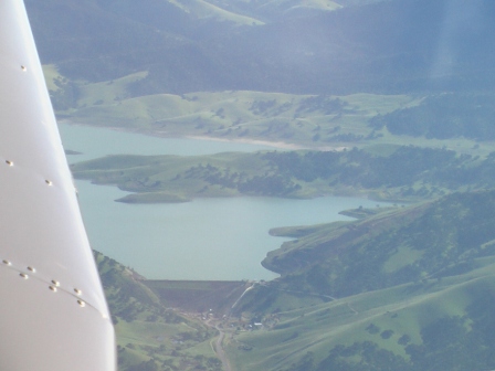 |
A reservoir around Altamont. |
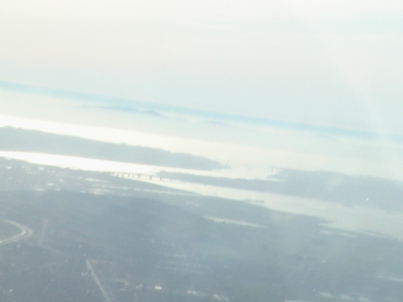 |
A hazy view of Carquinez Strait with Benicia and Carquinez bridges. On a clear day, one can see Mt. Tam from here. Not this afternoon. |
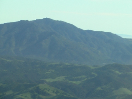 |
Passing by Mt. Diablo. |
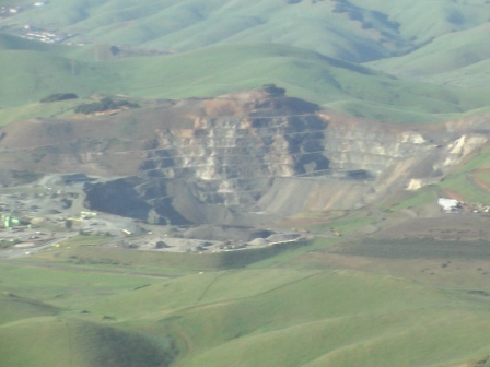 |
Quarry operation in Vallejo near Blue Rock Springs as I was approaching Napa airport. |
| [Return to Top] | [Main] |