|
With several TFR's north of Napa due to wildfires, I decided to go somewhere south for today's cross country. I've never been in Watsonville. Being close to the shoreline, Watsonville is often affected by marine layer and fog. But today, Watsonville cleared up early. So, Watsonville it is. On my way, I spotted some grass fires somewhere in Benicia. Also, Mt. Diablo showed a large area of fire damage. To bypass the complex Bay Area airspaces, the flight plan overflew Concord to Livermore at 3,500, Livermore to South County at 5,500 to provide ample terrain clearance near Mt. Hamilton, then descended to Watsonville. On return flight, I cruised at 4,500 from South County to Concord. This plan also resulted to talking to several ATC centers for Flight Following --- almost necessary since the flight plan crossed several "heavy iron" flight paths approaching several Bay Area airports. ATC centers and frequencies used for Flight Following during this flight: * Over the Benicia Bridge, Travis App at 119.90 * Over Concord, Norcal App at 127.00 * Over Livermore, Norcal App at 125.35 * Over San Jose, Norcal App at 121.30 * Over South County, Norcal App at 120.10 I found Watsonville airport to be a very active, dynamic general aviation airport. This also meant a very busy airport. In addition to regular take offs and landings, there were several traffics doing touch-n-goes, skydiving, and helicopter flights. I almost executed a go around, when on final for Rwy 20 --- with several airplanes on hold, an aircraft entered the runway. I have to remind him to start the takeoff roll quickly since I'm in short final; good thing everyone's talking on the radio and everything turned out okay. Avgas was a dollar per gallon cheaper than Napa's. The airport looked well maintained with several active businesses --- from flight schools, skydivings, shops, etc. --- within the airport. A new restaurant, Props, just opened up. There were several planes parked in the ramp that I ended up parking further away from the terminal. And there seemed to be a non-stop activity of planes taking off and landing here. Great view of the Santa Cruz coastline on departure. |
|
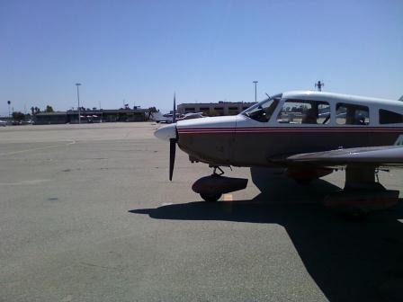 |
Planes all over the ramp. Not sure if they're visitors or locals but it took me some time to find a spot with tie-down cables ---- and it was a good walk to the terminal. |
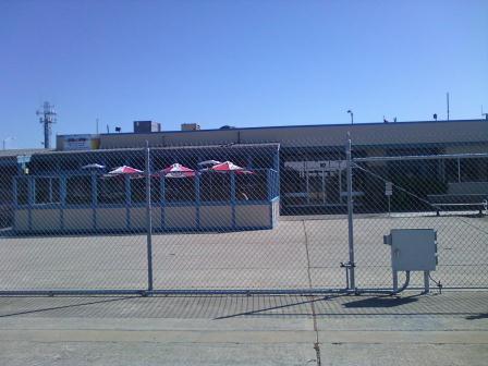 |
There used to be a Mexican restaurant here in the airport but it closed sometime ago. So, when this new restaurant called Props took over, it was good news to pilots looking for a place to eat without going far from the airport. When it finally opened up few weeks ago, the news of it opening was in several pilot forums. |
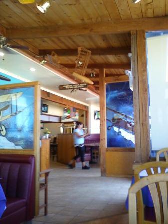 |
Inside Props, the place looked clean, service was quick, and the food and prices were decent serving burgers and sandwiches for lunch. Being in the airport, the place was aviation themed, and with great views to the runways and ramp. |
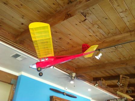 |
Did I mention it's aviation themed? |
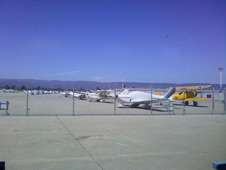 |
And did I mention about great views to the runways and ramp? During my visit, there was a continuous flow of planes landing and taking off from Rwy 20. |
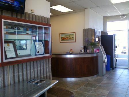 |
Terminal building lobby: Restrooms, ATM, vending machine, and offices. |
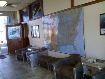 |
Inside the terminal building: Frames of the furnitures looked like they came from aircraft skin. That open door will take you to Props bar area. |
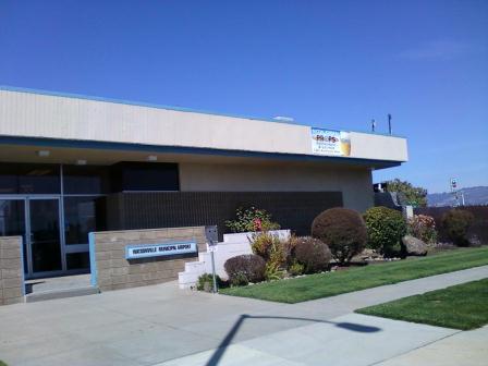 |
Front of the terminal building; Props also has another entrance at the right side of the building. |
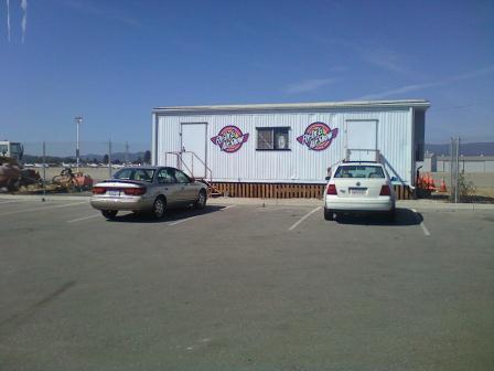 |
There was a big airshow here last weekend. |
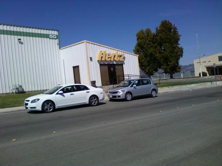 |
Hertz car rental within walking distance from the terminal. |
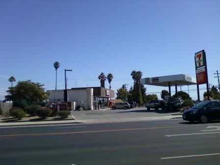 |
I walked around the block from the airport and noted this 7-11 along Airport Blvd. (--- in case I come back here and feel like getting a slurpee). |
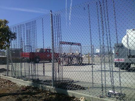 |
I was wondering why several parking spots have no tie-down cables; they're here behind the fuel truck hanging on the fence. And why are they not in the parking spots instead? |
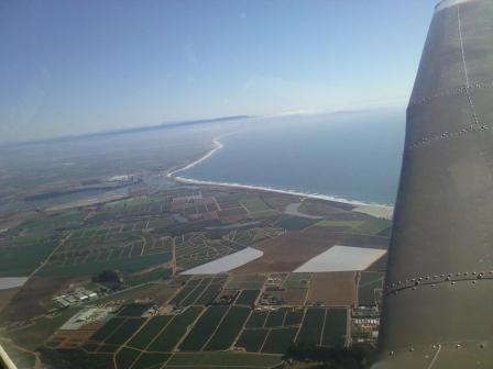 |
Awesome view of the Santa Cruz shoreline on departure from Rwy 20 on return flight. |
| [Return to Top] | [Main] |