Susan and I were again blessed to be part of providing humanitarian medical clinics at San Felipe, Baja Mexico with the
Flying Samaritans(click here for more info about Flying Samaritans).
With a low ceiling forecast at Napa on the day of our departure, I moved the plane
to Vacaville on Sept. 28, 2016 (Wednesday). Typically, Vacaville has clear sky when Napa is socked in by marine layer.
And true to the forecast, we departed Vacaville on Sept. 29, 2016 (Thursday)with clear sky while Napa was all low clouds.
The first part of our trip was non-stop flight from Napa to Fullerton, over Gorman.
We stayed there overnight and was able to visit Tim at Irvine.
On Sept. 30, 2016 (Friday), we took off from Fullerton for San Felipe, over Banning and Palm Spring, with fuel stop at Imperial
near Salton Sea.
The clinics were held the whole day of Saturday, Oct. 1, 2016.
Susan and I were helping the free eye clinic;
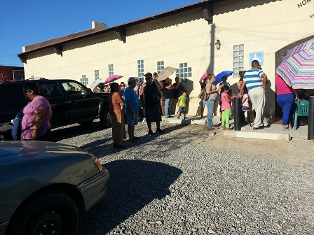
there was also a pediatric clinic at the same time. The eye clinic saw about 300 patients that day and more than 250 patients
were given prescription glasses. Those with more serious eye problems, such as cataracts, were referred for more
follow-up exams and possible treatments. As in the past, this was a joint effort with the Flying Samaritans, the local Lions Club
composed mostly of American and Canadian expats now living in San Felipe, and the Mission San Felipe Church. This year,
we also had volunteer medical students from Mexicali serving as interpreters.
On Oct. 2, 2016 (Sunday), we head back home. For our return flight, we first stopped at Calexico as our airport of entry to the US,
and a fuel stop at Delano. There was a weather front passing through our flight path causing a bumpy ride home. Below are some of the
details of our trip:
|
Sept. 29, 2016:
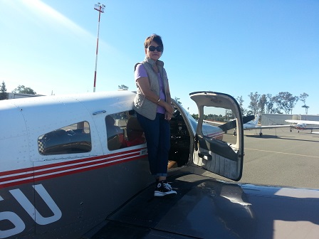
With low ceiling forecast in Napa on our departure date, I flew
the Archer to Vacaville the day before where it typically has clear sky.
|
|
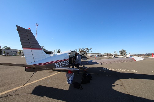
With the Archer fueled up, few more pre-flight checks and we're ready to go.
|
|
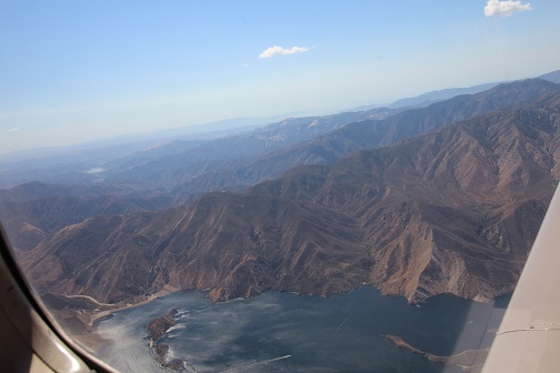
Overflying Pyramid Lake after crossing Gorman.
First leg was Vacaville to Fullerton over Gorman(GMN) at 7,500 feet,
then to Whiteman(WHP) at 5,500 feet, then to El Monte(EMT) at 3,500 feet.
|
|
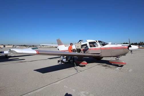
First time landing in Fullerton. As we approached Fullerton from El Monte,
Fullerton tower directed us to RT24. We parked at General Aviation FBO.
They brought our rental car to the plane as we were shutting down;
their linepersons also helped us push the plane to park and tie it down --- great customer service.
We stayed for the night and was able to visit Tim at Irvine.
Sept. 30, 2016:
With the Archer refueled, time to fly the next leg to San Felipe with a planned fuel
stop at Imperial. Fullerton ground provided squawk code for flight following.
The plan was to fly over Banning, Palm Spring, Thermal and Salton Sea at 7,500 feet.
|
|
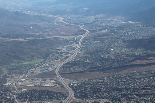
Aerial view of Hwy.15 over Corona/Riverside.
|
|
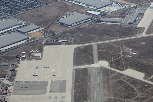
Over March Air Force Base, Riverside.
|
|
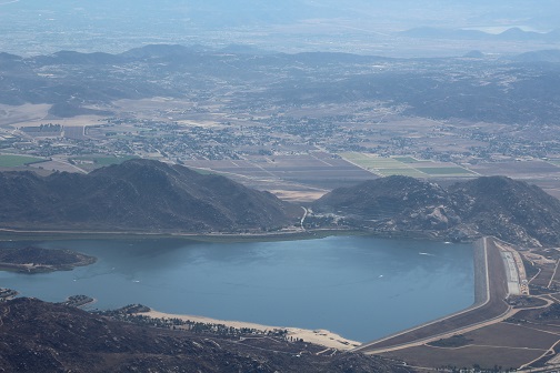
I believe this is Lake Perris at Moreno Valley.
|
|
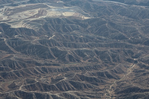
Interesting terrain formation over north of Moreno Valley towards Banning.
|
|
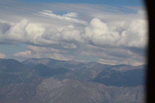
Passing Mt. Jacinto over Banning Pass at 7,500 feet. Mt. Jacinto is way higher with peak over 10,000 feet.
Pilots fly this pass with respect.
|
|
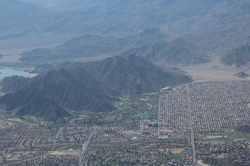
Over Palm Springs. Despite the statewide drought, the golf courses were green, and several man-made lakes and lagoons were filled.
|
|
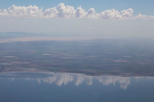
Over Salton Sea as we start descending for Imperial.
Trivia fact: Imperial airport is 54 feet below sea level.
|
|
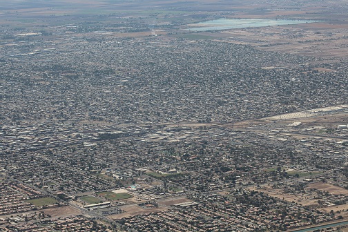
After a quick fuel stop at Imperial, we hopped right back in the Archer for San Felipe, Mexico.
This picture shows both Calexico(US) and Mexicali(Mexico) divided by the border.
|
|
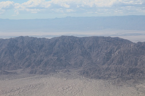
Mexicali has mixed terrain of flat desert land and high mountains. This mountain range west of Mexicali
can cause bumpy ride during windy conditions (like what went on during this trip).
|
|
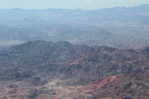
From the air, about halfway between Mexicali and San Felipe, it looks as if this mountain side was painted red.
|
|
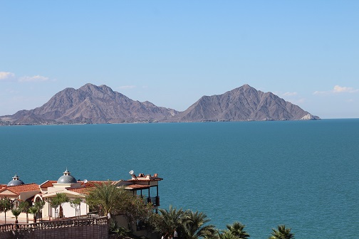
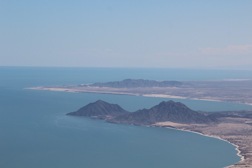
You know you arrived in San Felipe when you spot this twin hill landmark.
|
|
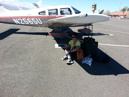
Arrived in San Felipe airport. It was hot; Susan decided to take shade under the wing
while I button up the plane. After going through the Mexico customs and airport processes,
we were met by the local Lions Club volunteers who took us to our hotel.
|
|
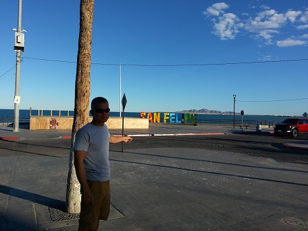
We stayed at Red Lobster Hotel located two blocks from the malecon.
After a brief rest we took a stroll to the malecon....
|
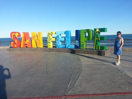
|
.... and noticed this new San Felipe sign; it wasn't there the last time we were here.
|
|
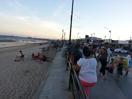
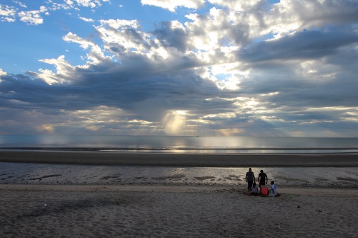
The malecon is the main gathering place for both tourists and locals. It starts to get
busy late afternoon as street vendors and locals come out to cool off...
|
|
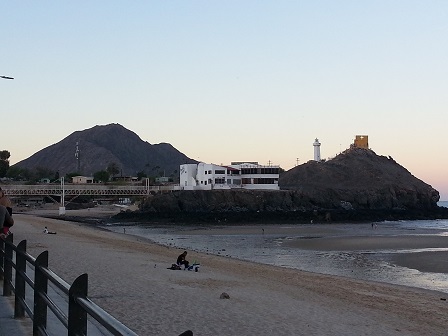
...or just hang out on the beach.
|
|
The famous twin hill San Felipe landmark viewed from the malecon.
|
|
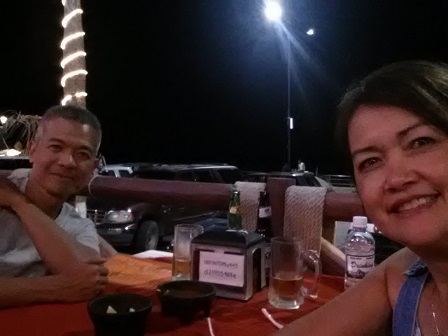
A selfie during dinner at Baja Mar restaurant along the malecon; great spot for people watching.
|
|
Oct. 1, 2016:
This is what we're here for --- the free eye clinic.
|
|
People were already lining up outside early even as we just arrived.
|
|
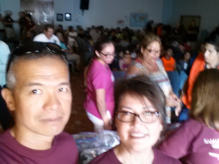
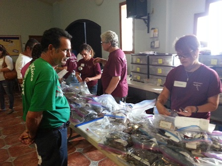
Susan and I were dispensing presciption glasses.
|
|
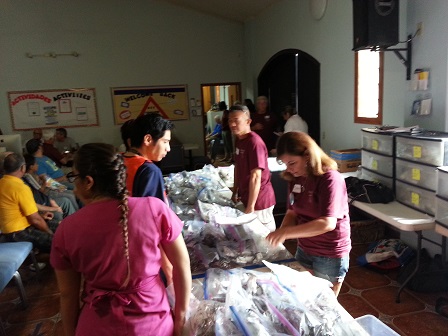
This is the last station after patients were screened, given eye exam and prescriptions were written. Those with
more serious eye problems such as cataracts were referred to the local Lions Club; they arranged
further eye exams and treatments.
|
|
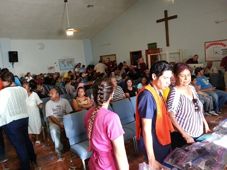
The clinic saw about 300 patients that day, with about more than 250 patients given prescription eyeglasses.
Other volunteers include medical students from Mexicali who acted as interpreters.
|
|
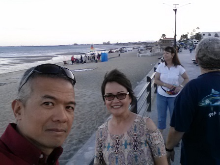
After the clinic, we cooled off at the malecon.
|
|
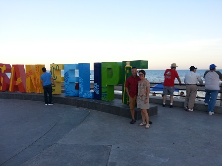
Here's the obligatory picture of the San Felipe sign.
|
|
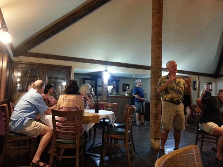
A post clinic dinner of Flying Samaritans.
|
|
Oct. 2, 2016:
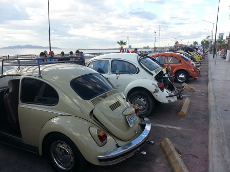
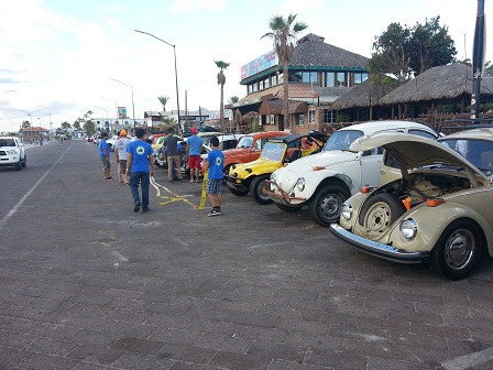
On departure day, there must be some kind of Volkswagen Beetle convention going on!
|
|
Classic Volkswagen Beetle --- the original aircooled, rear engine Beetle --- parked all over the malecon.
|
|
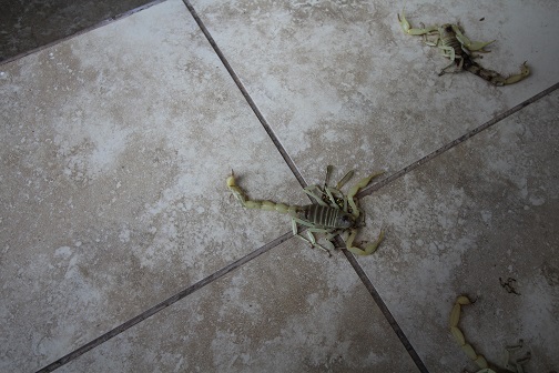
Arrived at San Felipe airport for departure and found these on the floor.
|
|
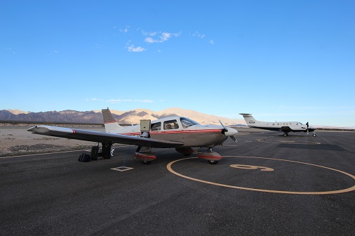
After going through the Mexico customs, get ready for departure back to US.
At the background is a Super King Air flown by one of the Flying Samaritan pilot
volunteers and was loaded up with several volunteers.
|
|
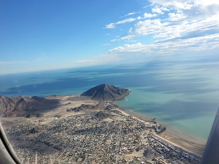
Over San Felipe at takeoff.
|
|
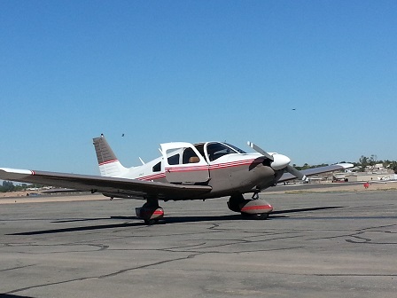
At Calexico airport as our airport of entry to the US.
|
|
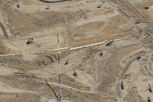
Over oil fields at Bakersfield during our return flight.
|
|
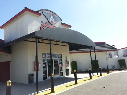
Landed at Delano for lunch at this small casino right next to the airport.
This was a popular place for the locals to watch football
with TV screens all over and game food at the restaurant. We didn't see
anyone gambling --- they were all watching the 49rs-vs-Dallas game going on.
When we left, 49rs was ahead. When we got home, we found out 49ers lost.
|
|
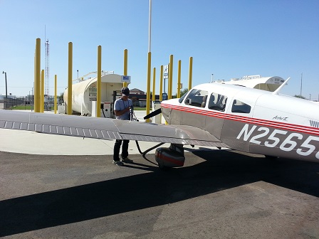
Refueled the plane at Delano for the last leg to Napa.
|
|
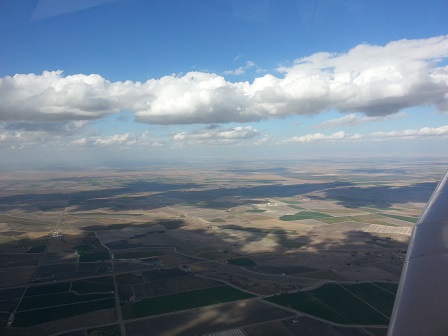
There was a strong headwind causing slower cruising speed. There was also
a weather front moving along the route making it a bumpy trip.
At times, we have to duck under some clouds.
|
|
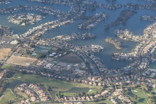
Over Discovery Bay
|
|
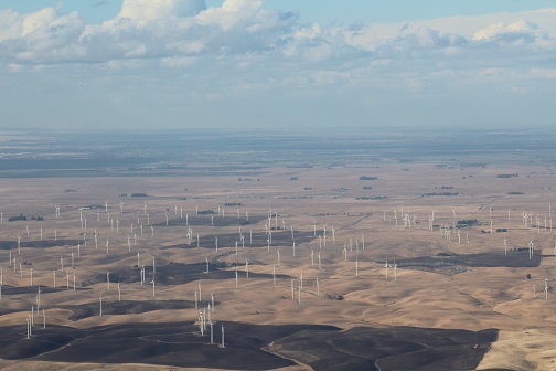
Wind farm over Rio Vista.
|
|
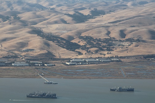
Over what's left of the mothball fleet at Suisun Bay.
|
|
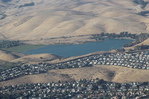
Over Herman Lake, Vallejo.
|
|
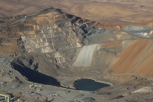
Flew over this mine pit near Blue Rock Springs Park in Vallejo as we descended for landing in Napa;
you can only see this view from the air.
|
We thank God for the safe and blessed trip!
Also to my great co-pilot ---
Susan took care of switching radio frequencies to talk to air traffic controllers (which could
get busy over the LA basin airspace), watching for traffic, and confirming our route
landmarks with the sectional charts.
Till our next flight.
|


